The UCSB Biogeography Lab conducted a pilot Santa Barbara County Oak Woodland Inventory and Monitoring Program with the following objectives:
- Develop a mapping strategy for county-wide inventory and monitoring of oak savanna, woodland, and forest ecosystems that will provide consistent, accurate, and repeatable information at an adequate leel of detail to support environmental assessment and impact analyses by the County of Santa Barbara.
- Develop a predictive site suitability model based on mapped environmental parameters and historical information that can be used to map areas in Santa Barbara County that offer opportunities for oak woodland restoration.
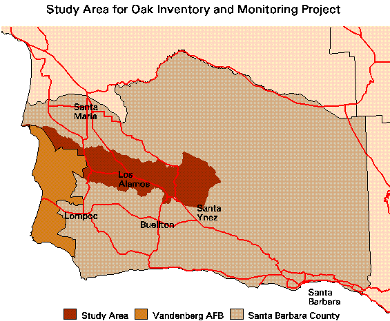
- Apply the mapping and modeling approaches developed in 1) and 2) to develop a spatial database of present and potential oak habitats in the San Antonio Creek watershed east of Vandenberg Air Force Base, as well as adjacent areas east of the watershed extending to the Figueroa Mountain Road.
- Based on historical photographs and survey plots, estimate changes in oak woodland and savanna extent, composition, and structure (density and cover) in the pilot study area since ca. 1940.
FINAL REPORT to Santa Barbara County Department of Planning and Development (pdf format)
PI(s):
Frank W. Davis
Funding Agency:
Santa Barbara County
Project Period:
January, 1998 to December, 1998
Status:
Completed